Holy Island · Lindisfarne National Nature Reserve
Wildlife–Visitor Time Translator
Visitors experience Holy Island as a place to visit. For wildlife, it is home.
I explored time as a translation medium between these two perspectives: visitors plan their trip through clock time, while wildlife activity follows tidal and seasonal rhythms.
The project asks how a familiar human sense of time might reveal what the same moment means for the animals already using the landscape.
View prototype ↗Outcome
Two connected forms of interpretation
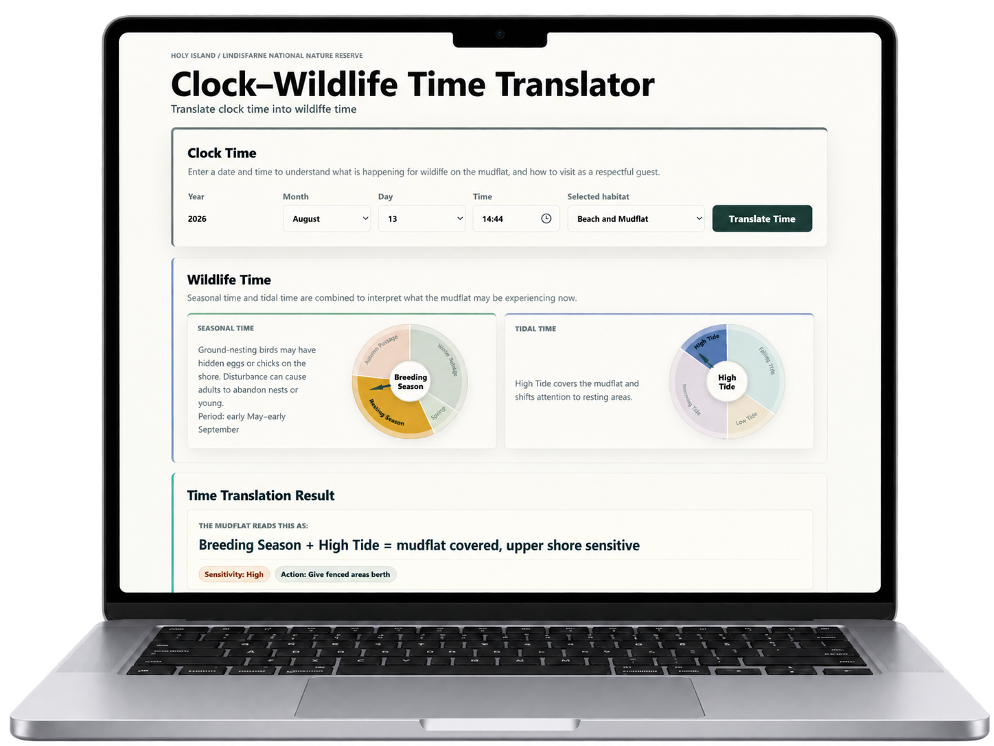
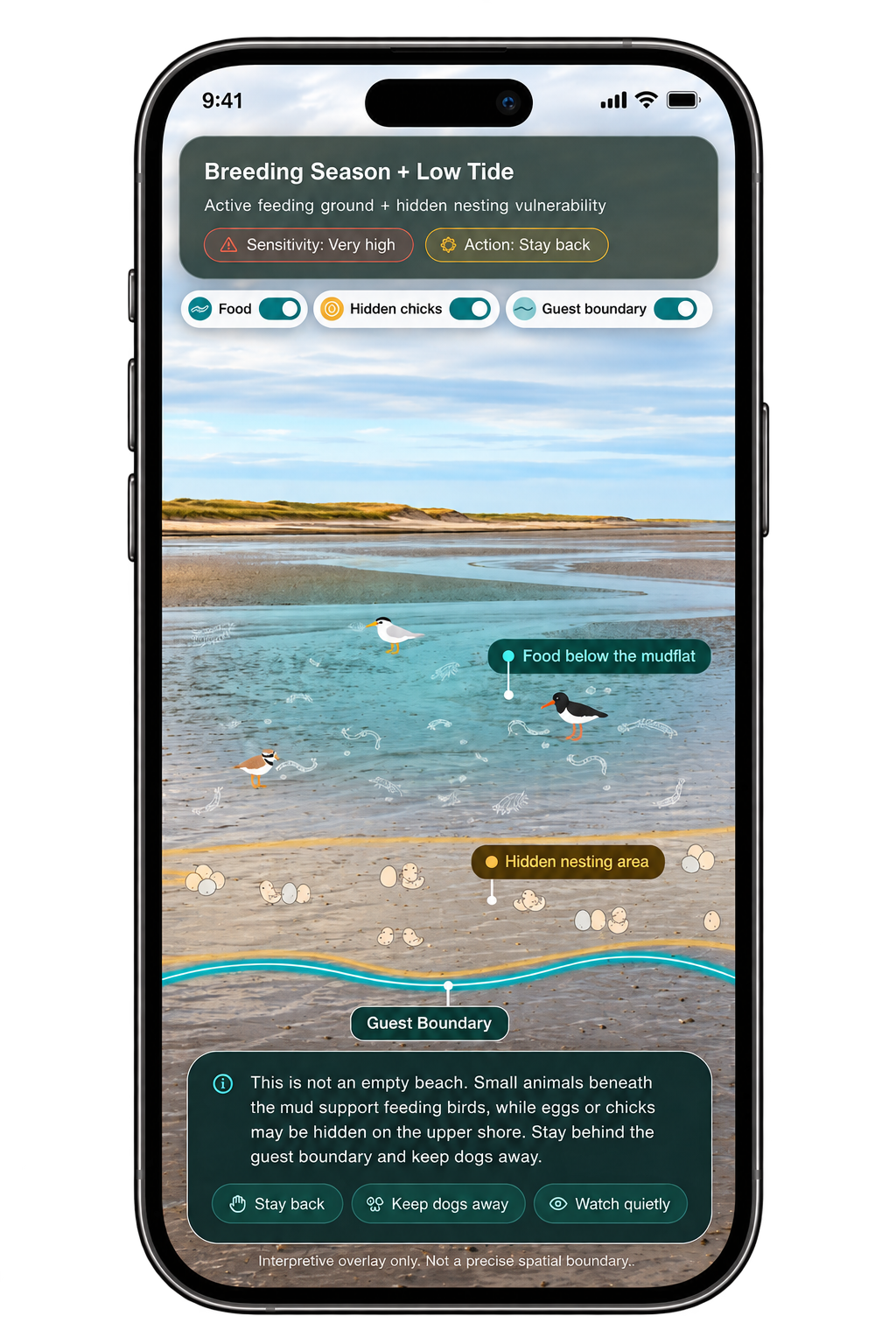
The project responds to two things that are difficult for visitors to see. The Time Translator shows how the ecological meaning of a place changes with season and tide. The AR concept explores relationships that may still be difficult to notice while standing in the landscape.
Summary
Translating visitor time into wildlife time
Visitors plan their time on Holy Island around when they can arrive, cross and leave. Wildlife experience the same landscape through changing tidal and seasonal rhythms.
This project uses time as a translation layer between these two perspectives. A visitor’s selected moment is connected to ecological context, including what wildlife may be doing, why that moment matters and how visitors can respond. The concept is explored through a web Time Translator and a linked AR prototype.
- Context
- MA Design Informatics dissertation · Lindisfarne National Nature Reserve
- Role
- Independent researcher & designer
- Methods
- Ecological review · site observation · stakeholder mapping · research probe · reserve-manager engagement · iterative prototyping
- Designed
- Temporal interpretation framework · Web Time Translator · situated AR prototype
- Year
- 2026
Context
Spatial guidance is visible. Ecological meaning changes with time.
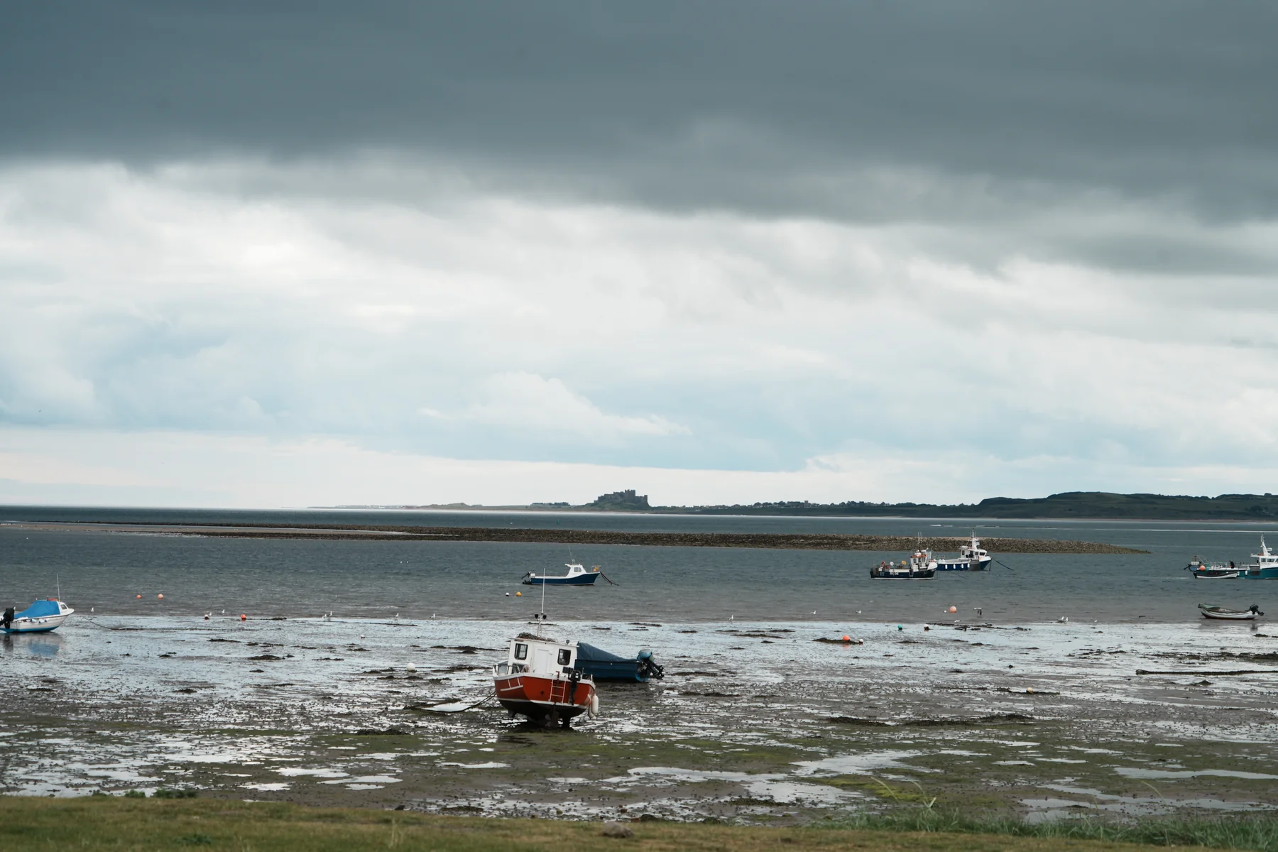
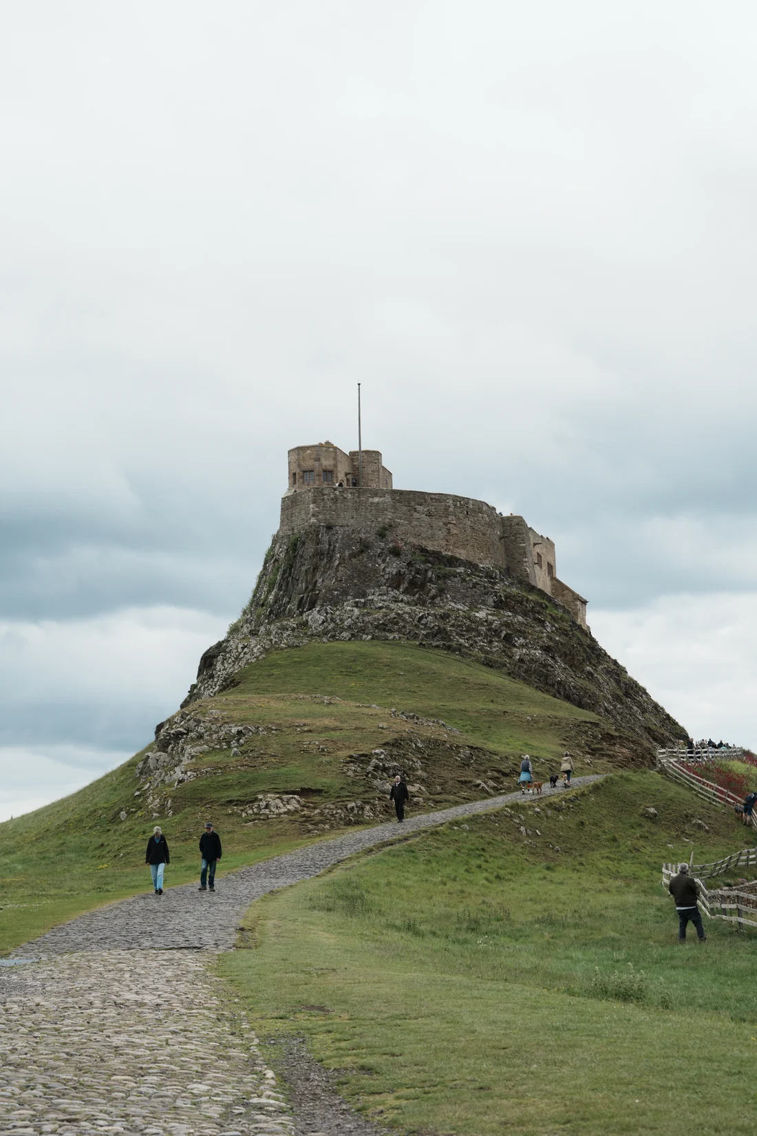
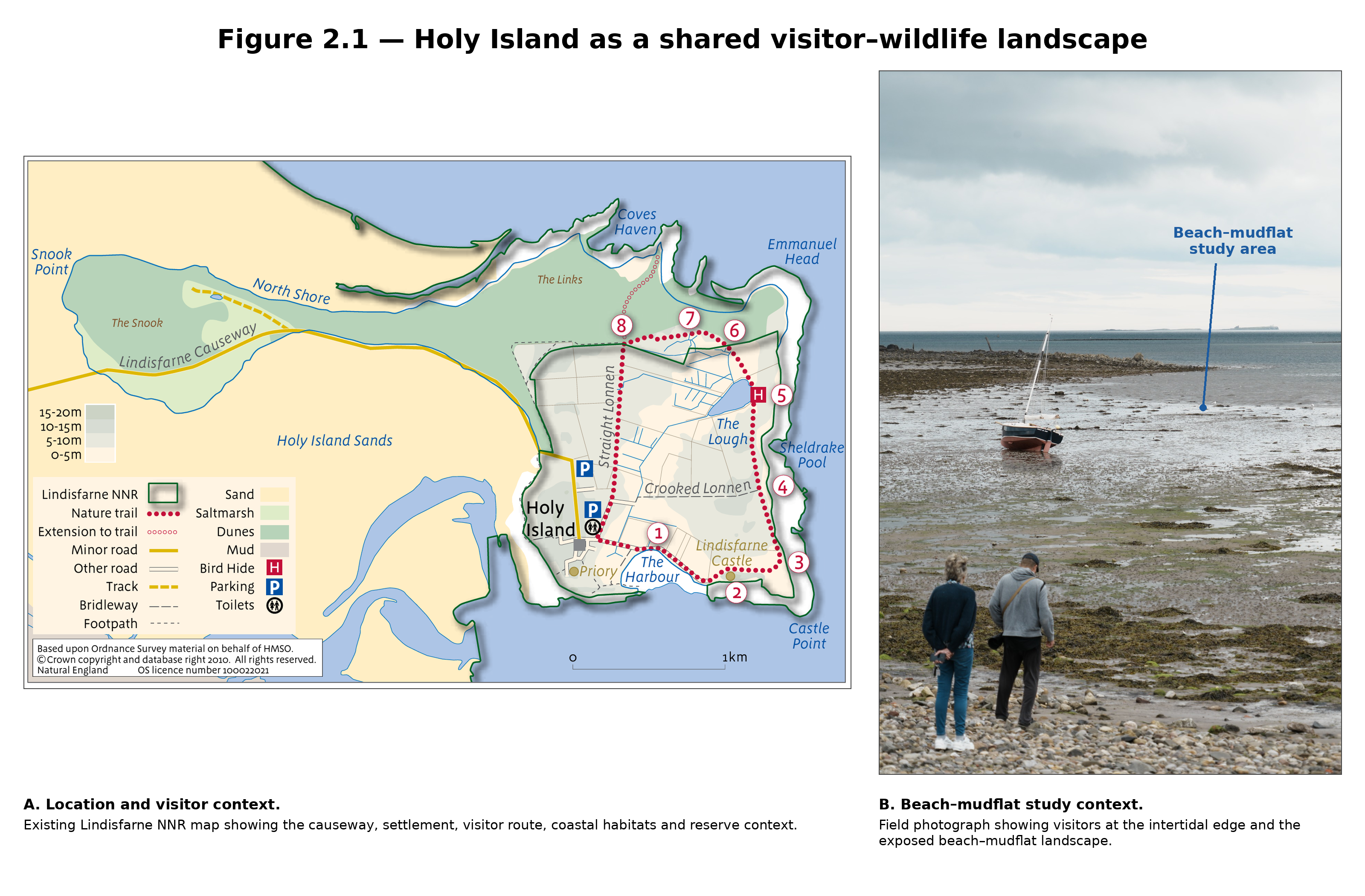
Holy Island is known for its history, heritage and coastal landscape, attracting people who come to explore the island and its landmarks.
What can be easier to overlook is that the same landscape is also part of Lindisfarne National Nature Reserve and provides habitat for wildlife throughout the year.
The reserve therefore sits between these two ways of using the island. During my field research, I saw how paths, fences, signs and access restrictions already help visitors understand where they can go and where greater care is needed.
But ecological conditions are not fixed. The significance of a place can change with tide, season and wildlife activity. This led me to ask: could time become another way of helping visitors read the landscape?
Research
The same landscape changes across timescales
I combined desk research, field observation and reserve manager engagement to understand the island at different scales and over different periods of time.
01 Desk Research
Wildlife activity changes across seasons and tides
Desk research brought together visitor access, reserve guidance and changing wildlife activity. It showed where visitor experience and ecological rhythms overlap, and shaped what I looked for on site and discussed with the reserve manager.
02 Field Observation
Spatial rules were visible; understanding was harder to judge
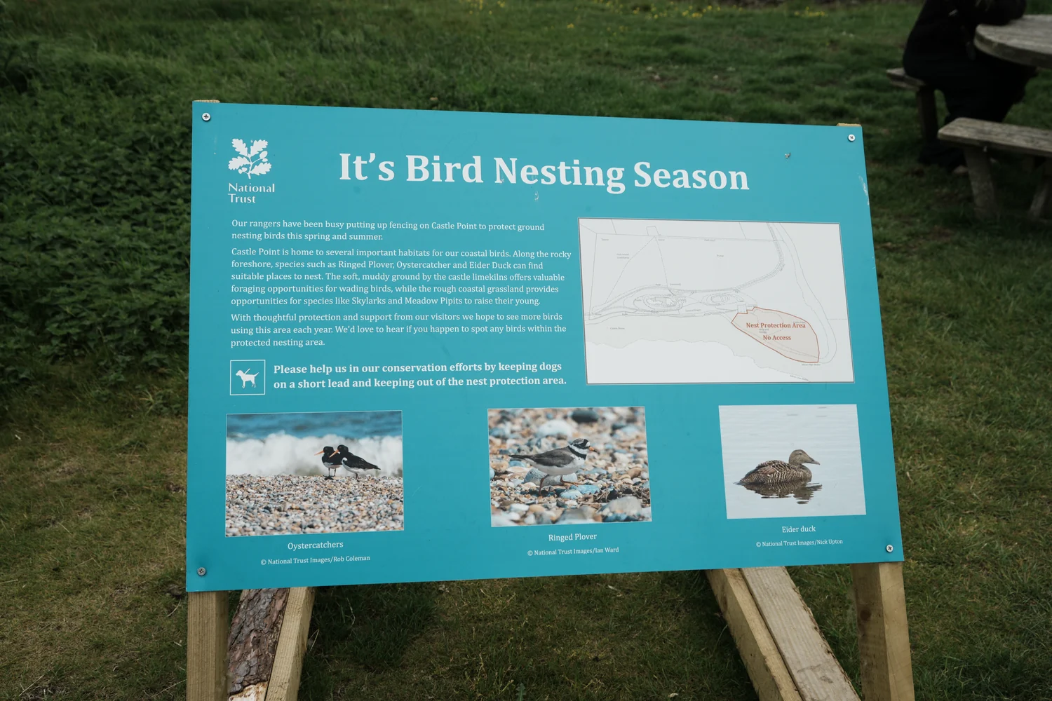
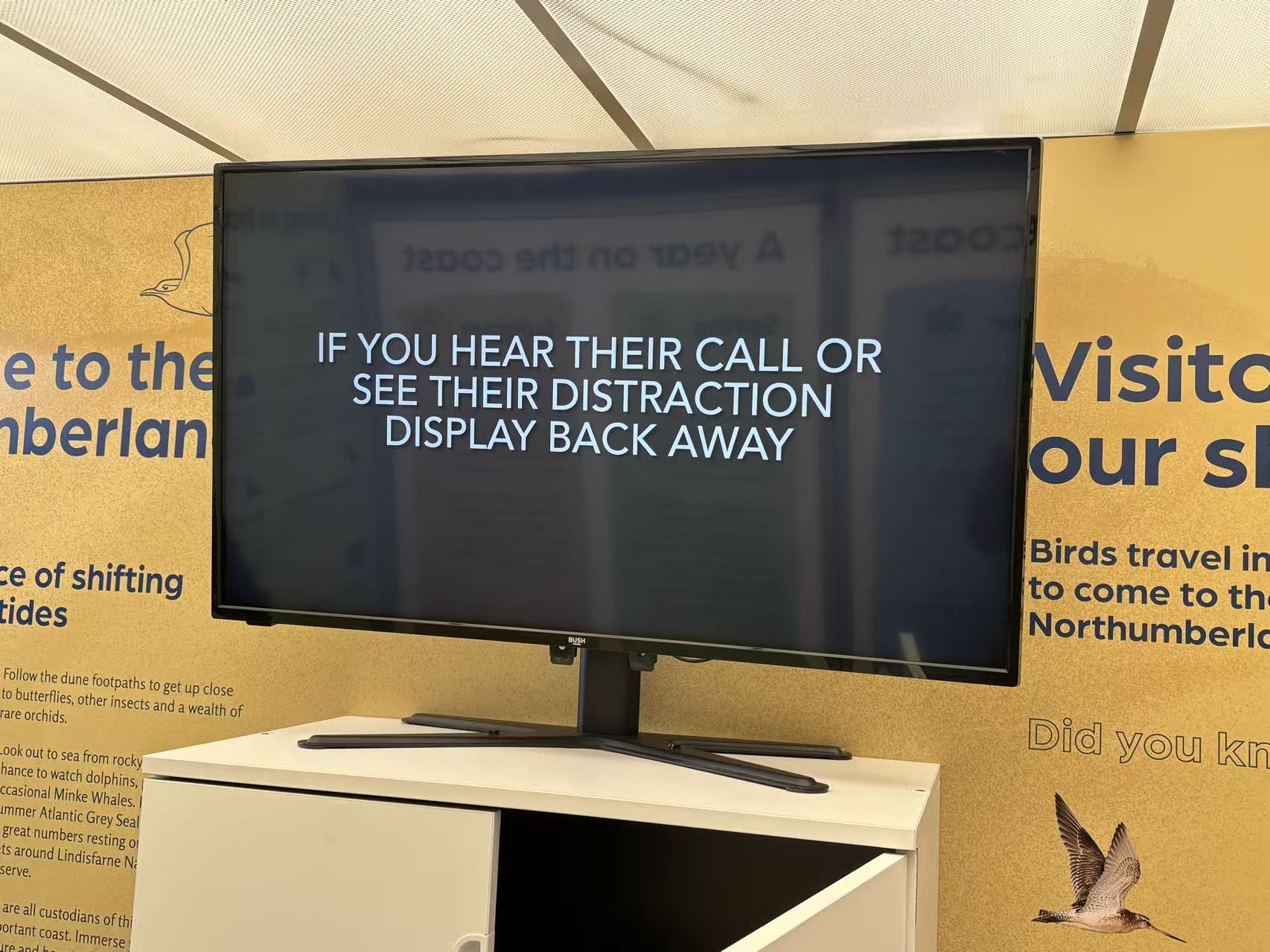
Paths, fences and signs made spatial expectations visible. Some visitors passed signs without visibly slowing, although one visit could not show whether they noticed or understood the guidance.
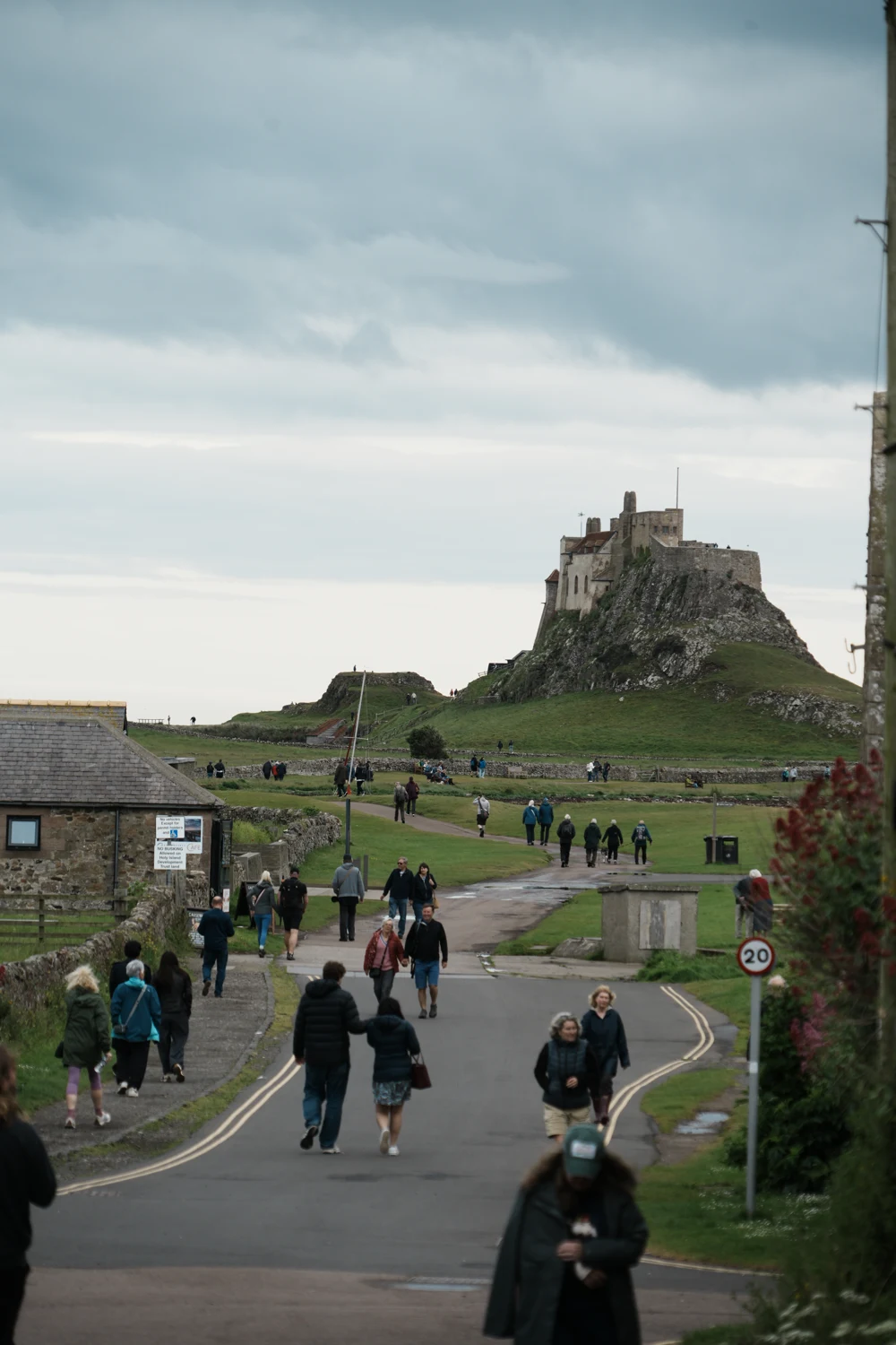
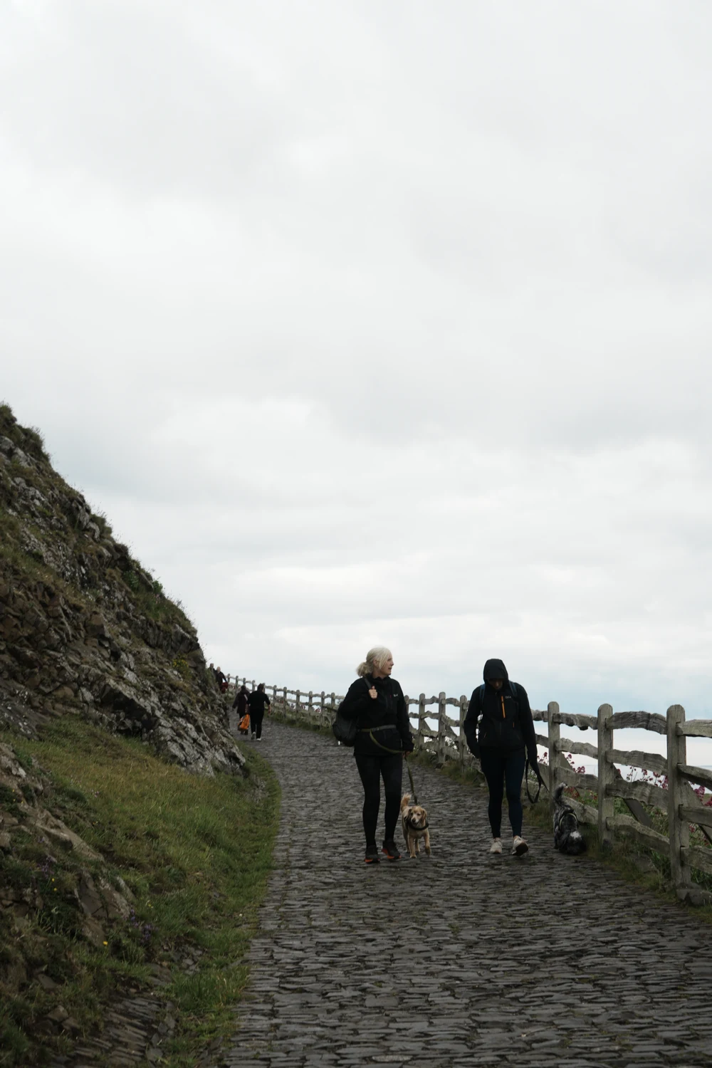
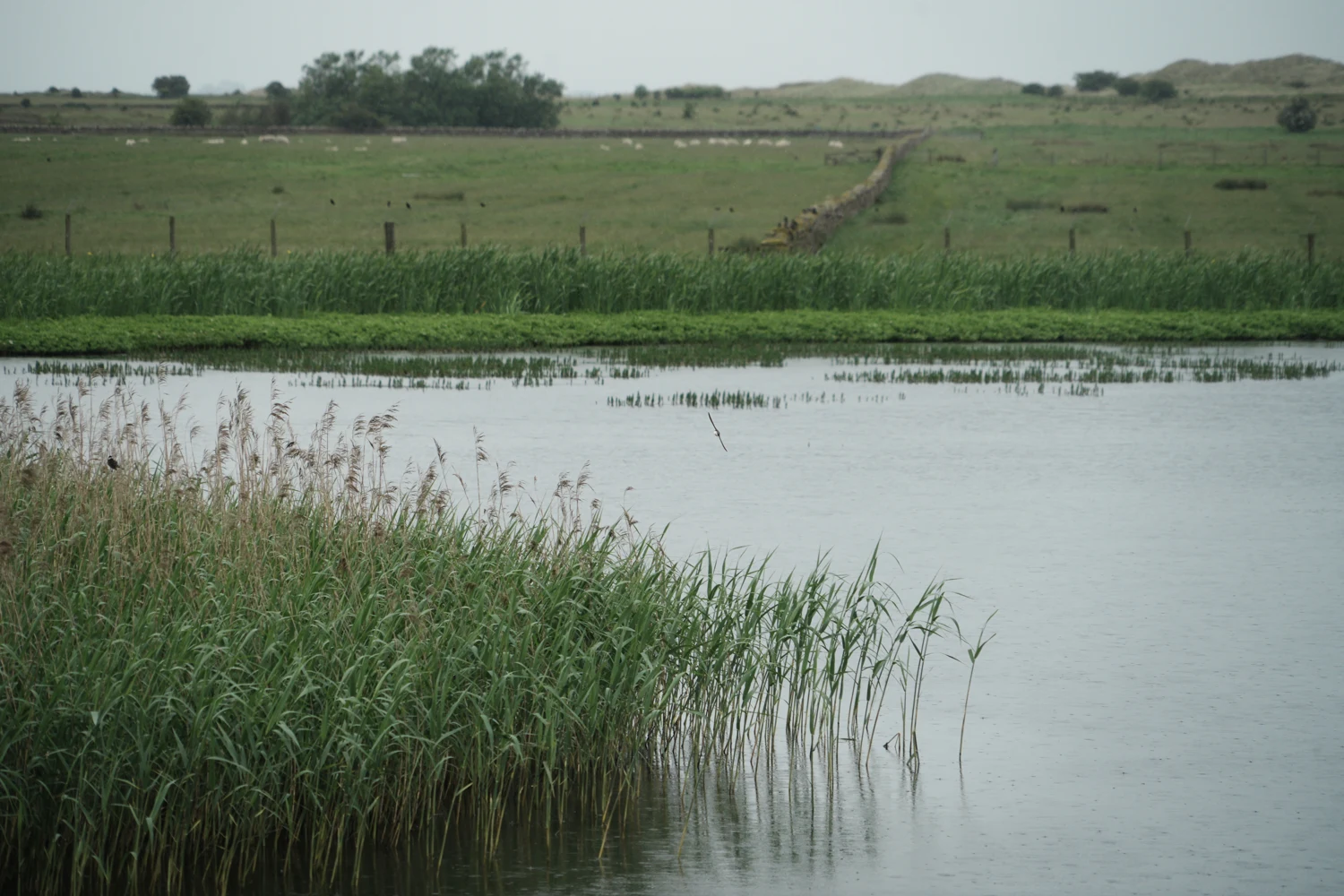
My attention shifted from whether guidance existed to what it helped visitors understand. This led me to an idea:
Could guidance explain not only what to do, but why care matters at that particular time?
03 Reserve Manager Engagement
One visit could not show the seasonal pattern
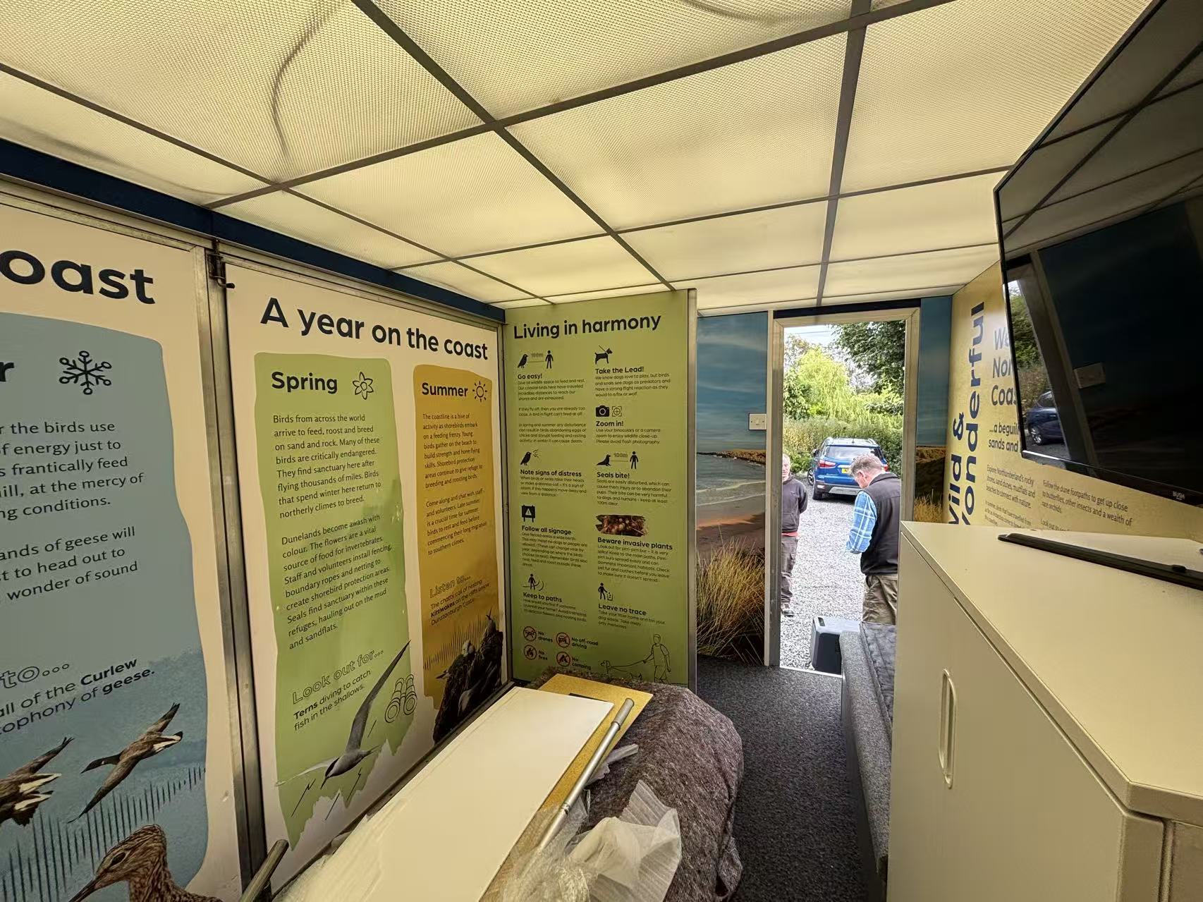
Scenarios, mapping and a seasonal timeline brought in the reserve manager's longer-term knowledge of changing sensitivity and visitor pressure. Later feedback refined the ecological framing and scope.
04 / Research Synthesis
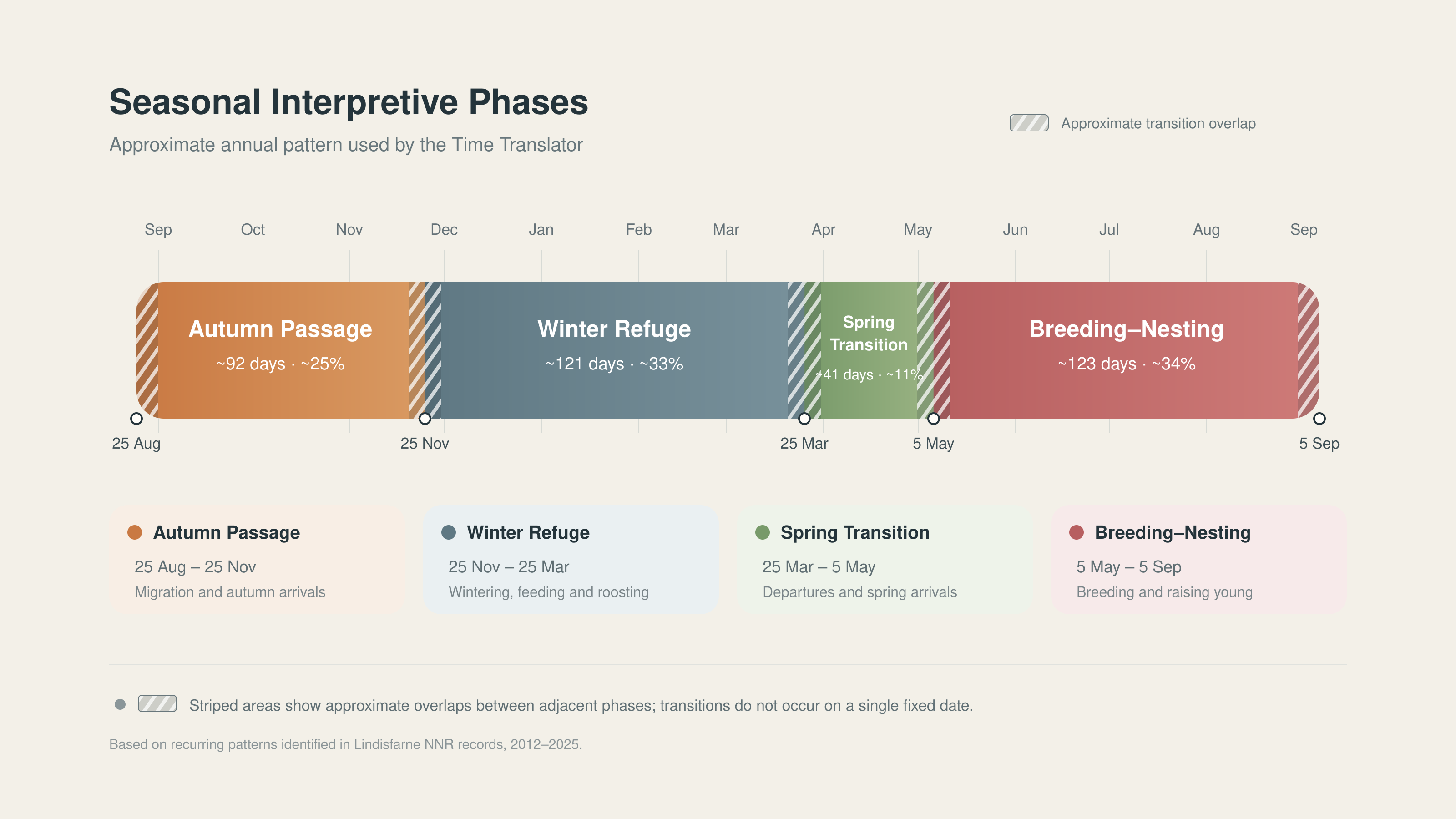
Turning patterns into a seasonal layer
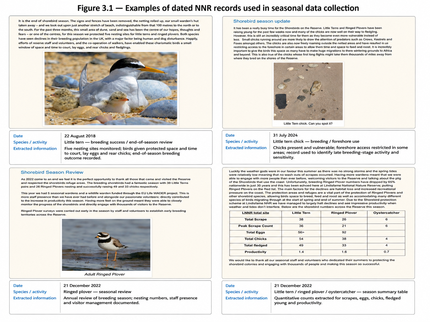
Reserve records became four interpretive phases: conventional seasons were too broad to give selected dates useful ecological context.
Their approximate, overlapping boundaries organise the prototype, not fixed ecological seasons.
Reframing
The tide is shared. Its meaning is not.
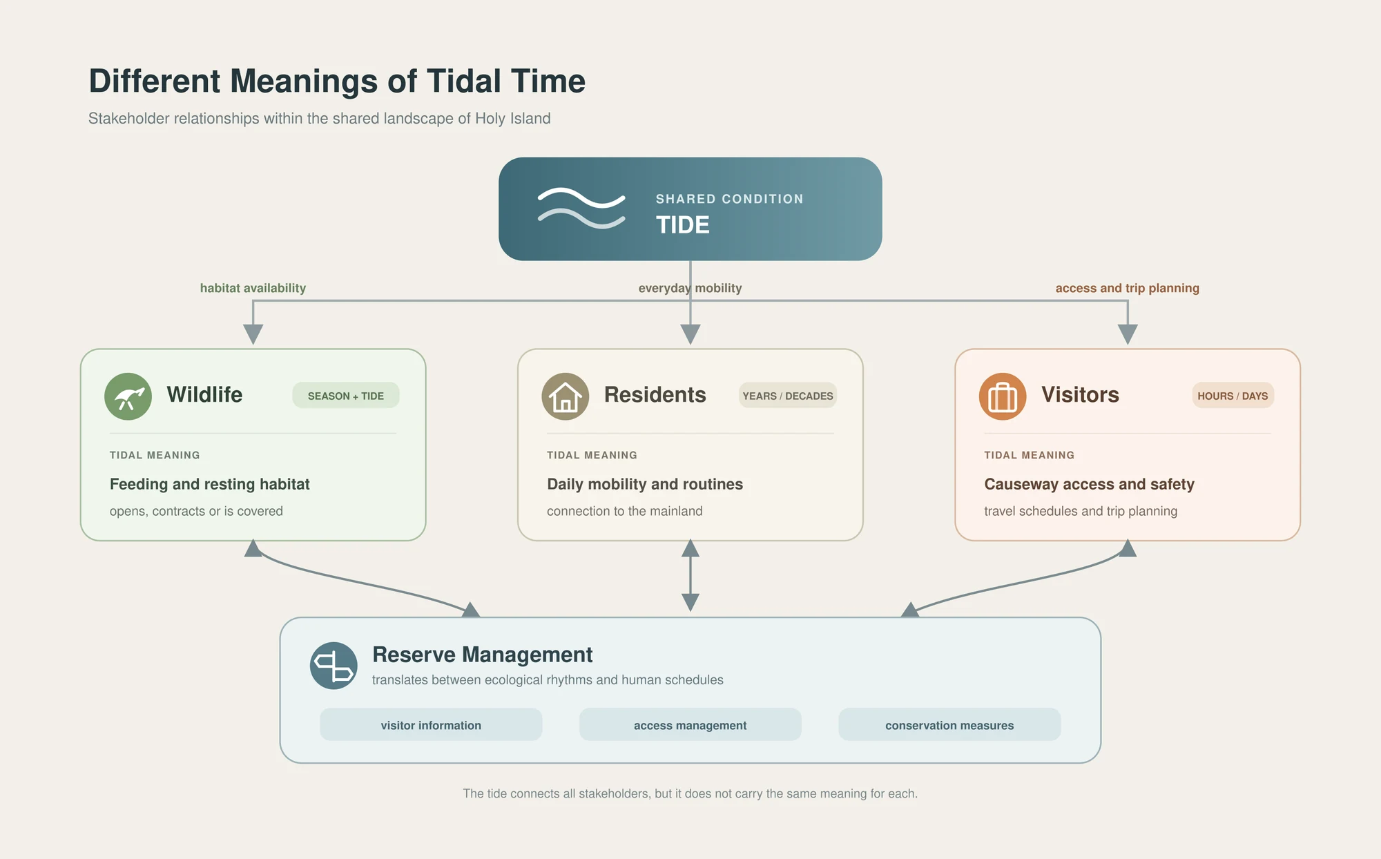
Tide became the bridge between visitor time and ecological time
Visitors use tide to plan crossing and travel. For wildlife, it changes feeding and resting habitat. This shared condition gave the project a way to connect familiar planning information with ecological meaning.
Initial assumption
Time could connect both perspectives
Visitors and wildlife occupy the same landscape at the same moment.
Research shift
The same tide means different things
It shapes visitor access and wildlife habitat in different ways.
Reframed direction
Tide as a translation point
Use familiar tidal information to introduce ecological time.
Choosing a focus
Starting with the beach–mudflat
I explored several visitor-wildlife encounters, from nesting areas to birdwatching. I chose the beach–mudflat because tide visibly changes feeding habitat within a single visit, while season changes its ecological meaning. It offered a focused place to develop and test the translation.
Design response
From time to situated guidance
The interaction begins with a date and clock time. That moment is interpreted through a seasonal phase and tidal state to suggest what may be happening within the beach–mudflat habitat.
Ecological interpretation alone did not determine how guidance should work. I used a Host–Guest framing: wildlife are continuing users of the habitat; visitors are temporary entrants. This led to a design rule:
Explain the ecological condition before asking the visitor to act.
- 01 · Visitor timeDate + clock time
- 02 · Seasonal contextWhat wildlife activity may be present across the year
- 03 · Tidal contextHow habitat availability is changing now
- 04 · Ecological meaningWhat may be happening and why it matters
- 05 · Visitor responseHow to act within that condition
Behind the interface
16 interpretive combinations
Four seasonal phases and four approximate tidal states create an internal structure for short visitor-facing explanations. Seasonal time supplies the broader wildlife context; tidal time situates it within shorter changes in habitat availability.
The matrix organises recurring patterns. It is an interpretive synthesis, not a prediction of real-time wildlife location.
Winter refuge × Low tide
Wide feeding access
Wintering waterbirds rely on feeding and resting habitat to maintain energy. At low tide, more of the mudflat is exposed as feeding habitat.
A broad interpretive synthesis, not a real-time ecological prediction.
Web Time Translator
The final Time Translator
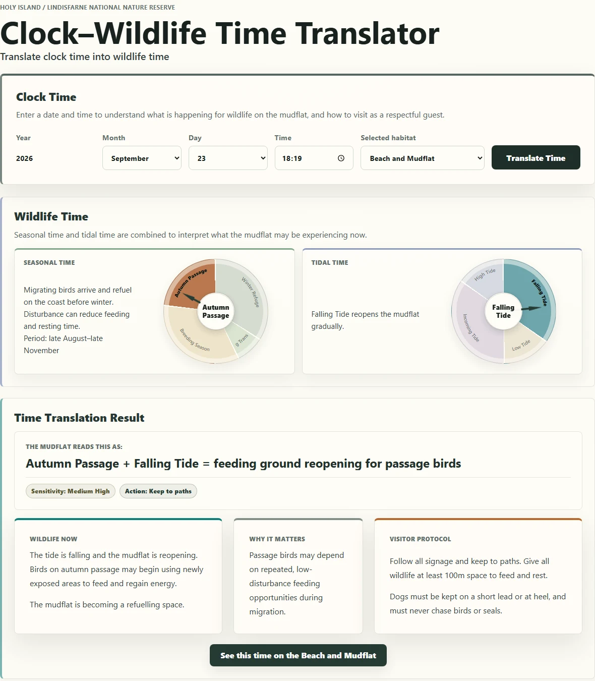
Choose a date and time to explore what wildlife may be doing, why it matters and how to respond.
Wildlife Now
What may be happening under the selected seasonal and tidal conditions.
Why It Matters
How disturbance could affect that activity or habitat.
Guest Protocol
Concise guidance grounded in existing reserve expectations.
AR prototype
Revealing the unseen
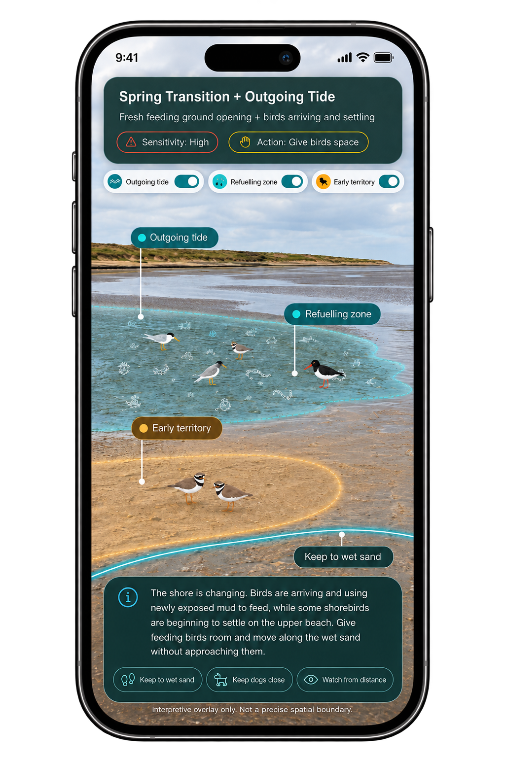
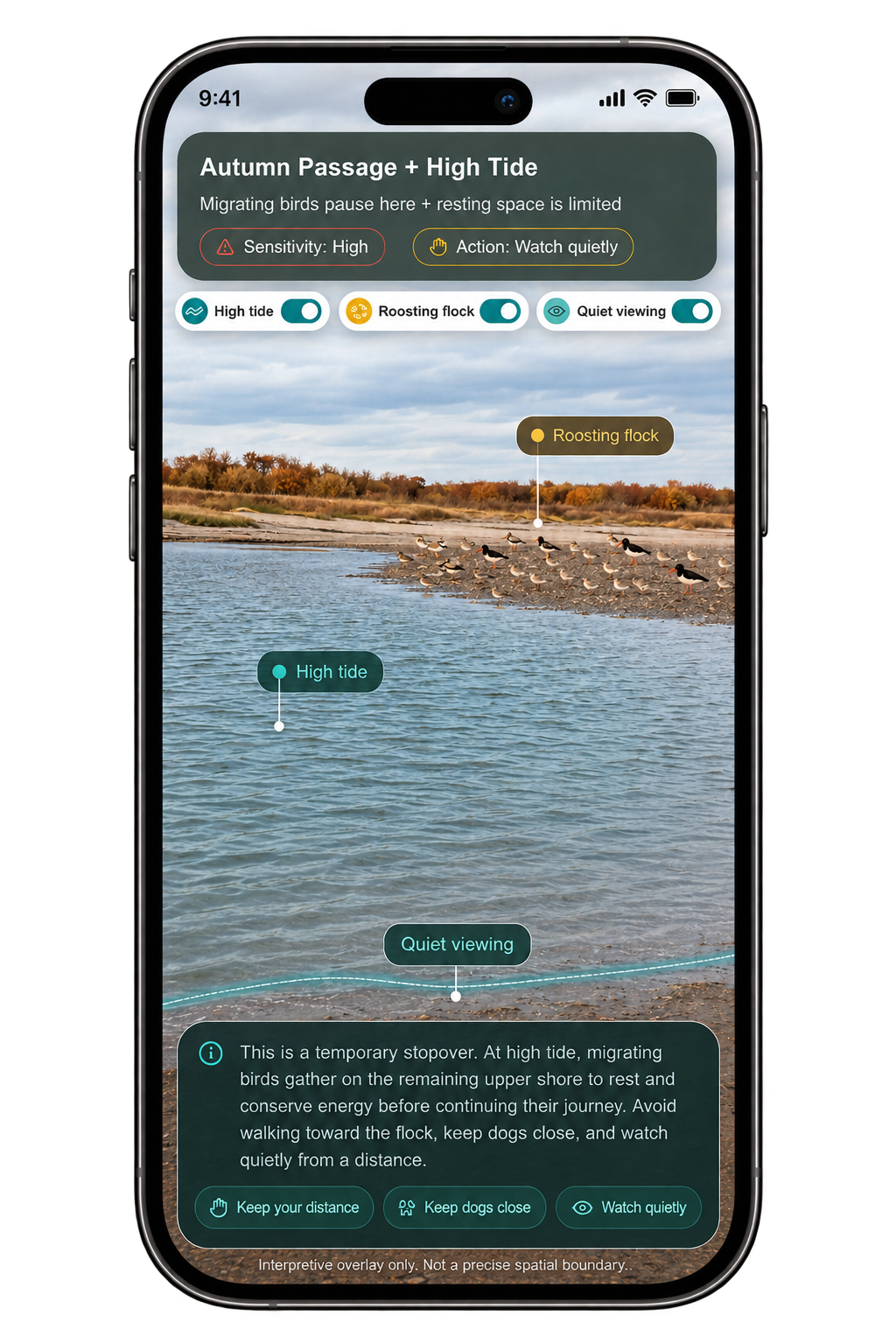
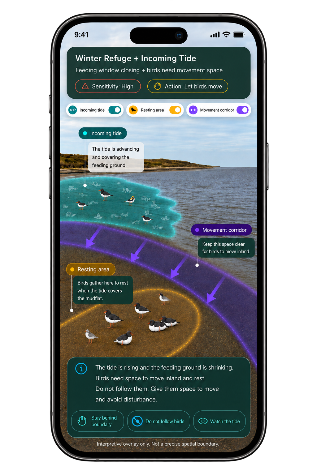
The linked AR prototype makes hidden ecological relationships visible: food beneath the sediment, camouflaged young and space wildlife need. Its seasonal and tidal layers help visitors understand why care matters in the landscape.
Selected moment
Season and tide frame the ecological context and visitor sensitivity.
Layer controls
Visitors can inspect the three interpretive layers separately.
Food underneath
Illustrated food beneath the mudflat explains feeding activity.
Chicks & eggs
Hidden young show why parts of the upper shore are sensitive.
Guest boundary
A visitor-facing line suggests where to give wildlife space.
Reason and response
The bottom panel links the ecological reason to visitor guidance.
Reflection
An interpretive concept that still needs visitor testing
01What the project established
Clock time remains useful for planning access and travel. This project explored how that familiar reference could also open onto changing ecological rhythms.
The design connects ecological condition, why it matters and visitor responsibility. The web prototype explains when and why ecological meaning may change; AR explores what may still be hard to perceive within that condition.
02What remains untested
This was an exploratory Research through Design project, not a validated visitor intervention.
Reserve-manager and supervisor feedback refined the framing, habitat scope and ecological explanations; it does not demonstrate visitor outcomes.
- Do visitors understand the seasonal–tidal interpretation?
- Does “Why It Matters” make guidance clearer?
- Does the information influence route or distance choices?
- Could visitors mistake AR overlays for live ecological information?
- How should future versions connect to changing environmental data?
Other habitats would need their own ecological research, sensitivities and form of interpretation.
Beyond one encounter
The reserve manager saw possibilities beyond the beach–mudflat. Future versions could explore nesting areas, birdwatching and habitats around rocks, revealing ecological relationships that visitors may overlook.
Noticing guidance does not always mean understanding it. A visitor may see a sign without knowing why the requested care matters. AR can make what is hidden or unfamiliar easier to understand, creating a starting point for more informed care.
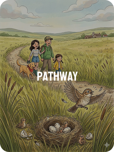
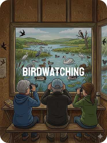
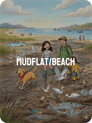
The beach–mudflat is a starting point. The wider potential is to translate visitor time into ecological meaning across more encounters, with research and interpretation specific to each habitat.
To be continued